Mobile Mapping Solutions
Take Productivity on the Road with Mobile Mapping
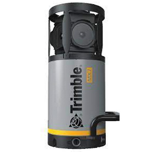
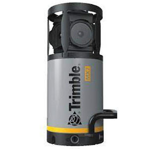
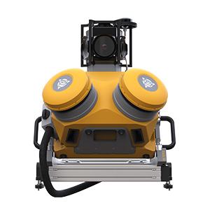
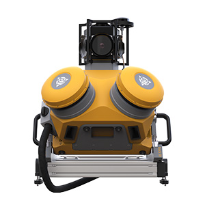
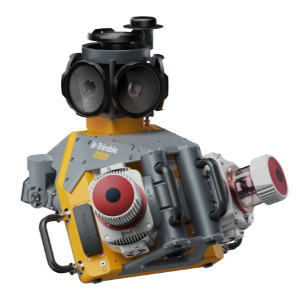
Do more with less by leveraging state-of-the-art mobile mapping solutions from Trimble. Trimble's portfolio of mobile mapping solutions offers easy-to-use, vehicle-mounted data capture systems combined with a complete field-to-finish workflow so you can complete your projects in record time.
No matter your project or budget, Trimble's line of mobile mapping solutions can fit your specific needs.
Whether your interest is in capturing immersive imagery to create a mapping-based street view application or you are looking to undertake precise survey and engineering projects, Trimble has a mobile mapping solution for you.
Mobile Mapping Systems:
Handheld Mobile Scanners:
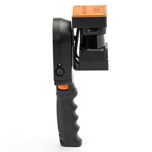
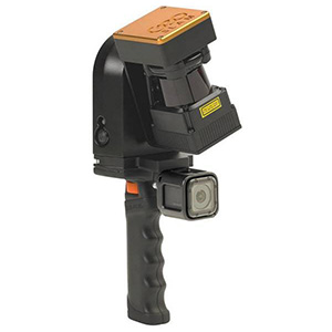
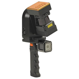
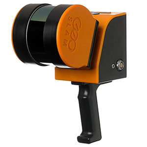
Whatever your project size, handheld mobile LiDAR scanners like the Zeb family of products from GeoSLAM are the perfect complement to your Trimble mobile mapping solution.
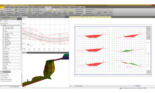
With a handheld mobile scanner, you can closely scan the areas of structures not visible from the road, including interiors. Handheld mobile scanners can also be mounted onto a golf cart or bike, allowing you to drive where full-sized vehicles are not permitted. Whatever the application, generate complementary, georeferenced point clouds via GeoSLAM's Connect post-processing software, then combine all your datasets within Trimble Business Center.
Software:
What's Possible With Mobile Mapping?
We offer Trimble's complete portfolio of mobile mapping equipment for purchase or rent, including complementary software, giving you a complete and easy-to-deploy vehicle-mounted data-capture system. Trimble's advanced software, scanning, and image capture solutions give you the power to:
- Rapidly collect large amounts of highly accurate, geo-referenced spatial data and transform it into information-rich 3D models.
- Plan, design, build and maintain modern infrastructure while maximizing safety and effectiveness.
- Process terabytes of immersive imagery and point clouds for entire cities, highway networks, rail systems, and utility corridors collected at highway or railway speeds, often in a single pass.
Why Use Mobile Mapping Equipment?
The MX Series from Trimble can be used by asset managers to build a complete inventory for municipal road networks, buildings, bridges, highways and airport infrastructure. The MX Series is the ideal solution for organizations looking to generate deliverables such as:
- City maps & models
- Change analyses over time
- Geo-located immersive panoramic images
- GIS data capture, extraction and maintenance
- Road and telecommunication asset inventories
Why choose Trimble for Mobile Mapping?
Trimble's state-of-the-art mobile mapping solutions provide users with everything they need to successfully implement this technology. Other benefits of selecting Trimble for mobile mapping include:
- Self-auto calibration reduces maintenance.
- Equipment is serviced at a North American Service Center, eliminating the need to ship equipment overseas.
- Relatively low cost warranty, support, and maintenance bundles compared to other high-end brands.
- Applanix's AP60 IMU (Inertial Measurement Unit) comes standard on the MX9 and is an option with the MX50.
- System weight and components that yield simple, quick, and easy installation.
- Common software workflow across the Trimble MX series.
Mobile Mapping Rental Program
Duncan-Parnell offers a robust rental program that includes a complete range of Trimble Mobile Mapping solutions. From the MX7 to MX9, we have everything you need, whether your firm is just beginning to explore our mobile mapping solutions, or you need an additional unit in your fleet to scale up for a major project.
Click here to request more information.
We offer two rental pathways for Trimble MX series gear to fit your needs, goals, and experience:
Preferred Hardware Rental Program
To qualify for this program, you must first purchase a Starter Kit. Taking advantage of this program means you will own everything but the sensor itself, including all supporting mobile mapping hardware and optional accessories to conduct missions using your vehicle.
Other benefits include:
- Reduced rental rates.
- Free transit days (we won't charge you for your rental while the unit is shipping to/from your office).
- The ability to reserve a sensor as far in advance as you would like.
- Option to upgrade your Starter Kit anytime by purchasing the sensor that goes with it.
Standard Rental Program
The other rental pathway is the Standard Rental Program. No prior purchase of processing software or any other components is necessary. Customers participating in this program will receive an entire system, capture vehicle, operator, and ultimately a point cloud in LAS format registered to Lessee provided control and trajectory-registered panoramic and oblique images. This option is meant for those who are not sure how often they will need to leverage mobile mapping tech. Any customer who goes this route can, at any time, purchase a Starter Kit and immediately begin renting at the reduced Preferred Hardware Rental Program rates.
Please note – the deliverables provided with the Standard Rental Program should not be considered finished products. It is incumbent on the Lessee to have adequate software tools to QC the data and produce whatever final deliverables your project requires. Duncan-Parnell is not a service provider and will not extract features, create surfaces, or produce any other final deliverables. What this program does achieve is providing access to the technology without the high initial cost barrier of entry.
FAQs
What's the learning curve like with mobile mapping?
We offer hands-on training and support to help ensure your team's success with mobile mapping, however, surveyors, GIS and other geospatial professionals can expect a slight learning curve when adopting this technology for the first time. Surveyors and engineers, especially those proficient in terrestrial scanning and processing point clouds, will just have to familiarize themselves with trajectory processing. If you currently perform terrestrial scanning with Trimble scanners and process the data in Trimble Business Center (TBC), there is a rather short learning curve to mobile mapping.
For data capture, planning and setting enough ground control points to satisfy your project's accuracy requirements is important, but regardless of your project's purpose or the mobile mapping solution you use, keeping these tips in mind can help ensure success:
- Utilize an onsite base station logging 1-second intervals: Depending on project accuracy requirements, if your purpose is to capture panoramic imagery for populating a GIS database, utilizing the nearest CORS base station is more than sufficient. If completing engineering grade deliverables for a DOT, this is essentially a requirement.
- Dynamic driving: This means quick turns, starts, and stops and getting up to highway speed quickly, to shake up the IMU and drive down your heading values to get a much better positioning solution.
- Static session pre- and post-mission: This means powering up the system and sitting still under open skies for 3-5 minutes after your initial dynamic driving period, as well as immediately following your last captured run to enhance the positioning solution and the quality of your final post-processed trajectory.
Who could benefit from using mobile mapping?
Anyone who needs to document large-scale sites quickly and authoritatively would benefit from Trimble's MX series gear.
Traditionally, mobile scanning is leveraged on highways and other major road projects to generate engineering-quality road surfaces, but this tech can be used in so many other ways, such as for GIS asset collection - both large- and small-scale.
Mobile Mapping can also be used to accelerate the fieldwork on a terrestrial scanning project. Surveying and engineering companies utilize this technology, but other mapping firms, and anyone who owns or manages assets, such as municipalities, utility companies, and their contractors as well as large campuses (colleges, hospitals, military bases), etc. could all benefit.


Meet Chris Breedlove - Duncan Parnell's Mobile Mapping Expert
Chris Breedlove joined Duncan-Parnell after almost a decade in city planning and asset management. Chris’ time spent in the field gives him special insight into how mobile mapping and UAV solutions can be used for asset management, topographic surveying, and many other mapping applications. A GISP and FAA Part 107 Remote Pilot Certificate holder, Chris enjoys helping mapping professionals find the best field-to-finish workflows to enhance their business.
GET IN TOUCH
Interested in learning more about our Mobile Mapping solutions?
