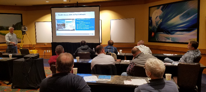
Arcpad and Trimble positions March 14-15, 2017
THIS CLASS IS NOW CLOSED
ArcPad/Positions Class Description
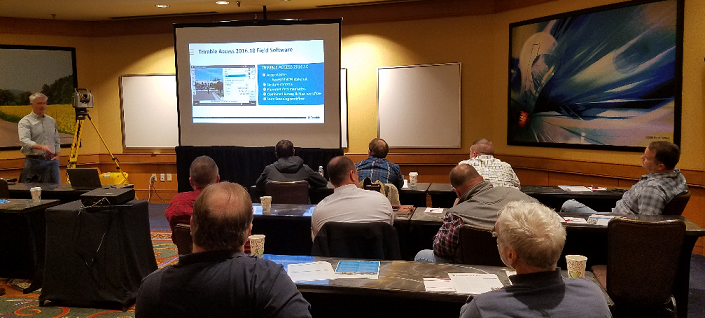
Duncan-Parnell’s Esri and Trimble GPS training is a fast, cost-effective way to learn how to use Esri’s software with Trimble GPS equipment. Our courses are developed by specialists who have used Esri software and Trimble GPS in industry applications.
Our training emphasizes practical applications with hands-on instruction that can be immediately transferred to your project or application. You will leave the course with a manual complete with information to maximize the use of your software. Productivity upon completion of the course is the primary goal. Attendees are awarded a certificate of completion.
ArcPad and Trimble Positions Software Suite
Learn how to effectively take your GIS from the office to the field with Esri’s ArcPad and Trimble’s Positions Software Suite to update, analyze, collect and process GPS/GIS data using Trimble GPS equipment. This two-day course includes:
- GNSS Basics
- Introduction to ArcPad and Trimble Positions
- Create a file geodatabase
- Configure ArcMap for data optimization in ArcPad
- Configuring ArcPad/Positions to Collect GPS Data
- Hands on Field Exercises
- Basic Field Collection: Points, Lines, and Areas
- Advanced Field Exercises: Offsets, Advanced Editing, Updating Existing Features
- Checking Data In and Out of ArcGIS for Desktop
- Processing GPS Data with Positions for Desktop Add-in
INSTRUCTOR: Tiffany Puett, GISP
Ms. Tiffany Puett is a Geospatial Trainer and Support Specialist with more than eleven years of GIS experience with Esri products. She specializes in editing, data management, GIS support, and Trimble’s mapping solutions. Ms. Puett is GISP and Esri Desktop Associate certified and is a member of North Carolina Property Mapper’s Association. Ms. Puett received a Bachelor’s degree in Geography with a minor concentration in Math from Appalachian State.
