Duncan-Parnell Partners with gNext to Deliver Customers a Top-of-the-Line Drone Inspection Platform

Charlotte, North Carolina (June 18th, 2024) — Duncan-Parnell, Inc., a leading provider of geospatial solutions in the Southeastern U.S., is pleased to announce its partnership with gNext, a leading provider of a cutting-edge SaaS platform for safer infrastructure inspection and asset management.
This partnership provides Duncan-Parnell geospatial customers with innovative inspection and analytical solutions that add value to their UAS (Unmanned Aeriel System) investment and workflows. Furthermore, the collaboration joins together Duncan-Parnell’s expertise in UAS solutions with gNext’s innovative infrastructure inspection software, offering a comprehensive solution that addresses the critical needs of the building construction, infrastructure, water resource, and utility inspection markets.
Paul Zytnik, EVP for Duncan-Parnell, commented, “Managing data through the full project life cycle is important to our customers. By partnering with gNext, Duncan-Parnell can deliver on its commitment to customers to provide solutions that will enhance their abilities to collaborate, solve problems, measure progress, and better manage data through and beyond project completion.”
“We’re thrilled about our reseller relationship with Duncan-Parnell and look forward to supporting their customers – providing them with the added capability to inspect a wide array of infrastructure assets, monitor construction progress, measure and value stockpiles, and monitor change over time with digital records using the gNext Platform,” added Russ Ellis, President of gNext.


With a long-standing reputation for delivering high-quality products and exceptional service since 1946, Duncan-Parnell is well-positioned to introduce gNext’s SaaS solutions to geospatial professionals seeking the most accurate and efficient data acquisition and processing technologies.
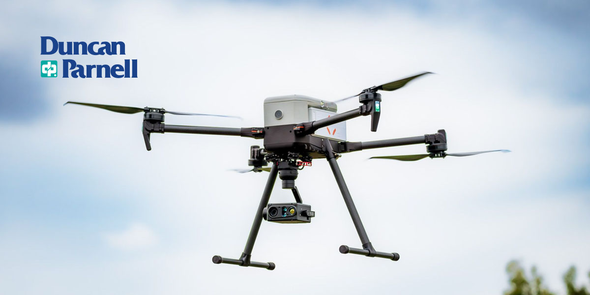
gNext has revolutionized infrastructure inspection, offering a SaaS platform that enhances safety and efficiency. By leveraging state-of-the-art tools and expert support, gNext’s software facilitates lower costs, reduces downtime, and offers customers the ability to perform remote inspections.
This technology is pivotal for the inspection of utility and distribution infrastructure, providing key insights through 2D and 3D visualizations, reporting, analytics, cloud storage, document management, and more, thus ensuring our aging infrastructure remains secure and operational.
The collaboration between Duncan-Parnell and gNext further underscores both companies’ commitment to delivering the best technology to their customers. For more details on how this partnership can benefit your operations, please reach out to us at [email protected] or visit https://www.duncan-parnell.com.
About Duncan-Parnell
Duncan-Parnell is a trusted provider of geospatial solutions, surveying equipment, and integrated services. With a commitment to delivering reliable products and exceptional customer service, Duncan-Parnell supports professionals in the geospatial industry across the Southeastern United States. Learn more at https://www.duncan-parnell.com
About gNext
gNext’s comprehensive inspection platform empowers full construction project management capabilities and infrastructure asset management in a single cloud-based platform. Custom-built, gNext offers a secure platform that combines drone-collected data with artificial intelligence and 3D modeling that enables inspectors the ability to analyze the integrity of assets safely, accurately, and collaboratively from any remote location. Learn more at https://www.gnextlabs.com/.
-
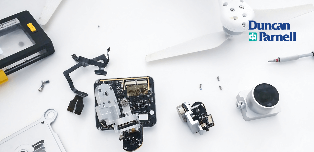 Guide to Drone Maintenance
Drones, or unmanned aerial vehicles, benefit many industries. Though the technology is still relatively new, companies have embraced professional drones for tasks like inspection, construction, public safety, and mapping.
Guide to Drone Maintenance
Drones, or unmanned aerial vehicles, benefit many industries. Though the technology is still relatively new, companies have embraced professional drones for tasks like inspection, construction, public safety, and mapping. -
 Drone Safety Best Practices
Across many industries, drones help businesses navigate tasks like inspecting, surveying, and monitoring construction progress. These devices provide a snapshot of areas to inform decision-making processes and have the power to streamline your operat
Drone Safety Best Practices
Across many industries, drones help businesses navigate tasks like inspecting, surveying, and monitoring construction progress. These devices provide a snapshot of areas to inform decision-making processes and have the power to streamline your operat -
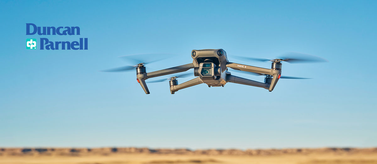
 How to Choose the Right Drone for the Job
There are multiple characteristics to compare when making a purchasing decision. From payloads, altitudes, and endurance to cameras and accessories, there are plenty of features to consider.
How to Choose the Right Drone for the Job
There are multiple characteristics to compare when making a purchasing decision. From payloads, altitudes, and endurance to cameras and accessories, there are plenty of features to consider. -
 The Role of Drones in Surveying and Mapping
In a short time, drones have gone from a hobbyist's novelty to a critical tool used daily across various industries. The Surveying and Mapping industry is no exception. Drones are rapidly transforming data collection, project management, and high-qua
The Role of Drones in Surveying and Mapping
In a short time, drones have gone from a hobbyist's novelty to a critical tool used daily across various industries. The Surveying and Mapping industry is no exception. Drones are rapidly transforming data collection, project management, and high-qua
